
Your selection
ATLAS || GEOGRAPHIE. Atlas national - Géographie de la France et de ses colonies. [vers 1900].

ATLAS || GEOGRAPHIE.
Atlas national - Géographie de la France et de ses colonies.
Paris, A. Fayard, [vers 1900].
Two small folio (313x243 mm), (2)-500 pages and one atlas of 127 maps. binding : Contemporary quarter sheep, flat spine, title in gilt on lettering-piece. Corners chipped and spines rubbed. Some foxing in the text. Two large tears, without lack, on the first and second folding maps. First endleaf and first leaf of volume 1 are detached.

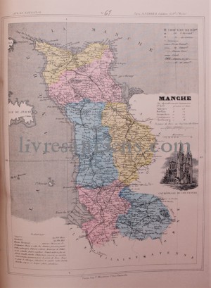
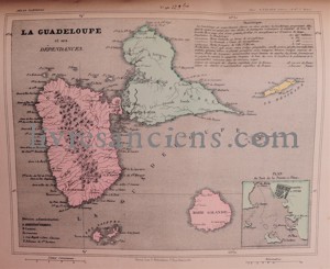
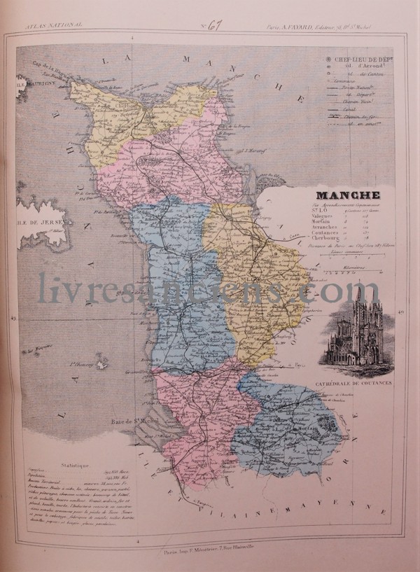
Geographical atlas of the end of the 19th century and the beginning of the 20th century, containing the various data recorded on the French departments and French colonies, illustrated with colour maps (France, important cities and other territories).
Price : 100 €

European VAT number: FR87515091171
© Eric Zink, Antiquarian Bookseller


